How to Read the Gemfields Fossicking Map: Regulations and Strategic Planning
Gemfields fossicking maps designate open areas, restricted zones, and licence boundaries with terrain markings essential for planning.
Maps are essential for fossicking expeditions. Color coding indicates open areas, restricted zones, and licence boundaries. Terrain markings show topography and water features. Understanding map language prevents trespassing and maximizes efficiency. Local visitor centres provide maps and guidance.
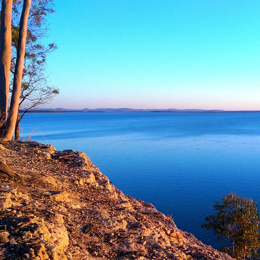
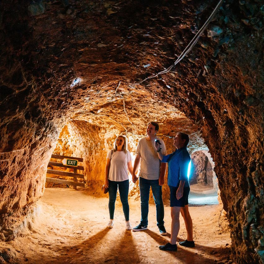
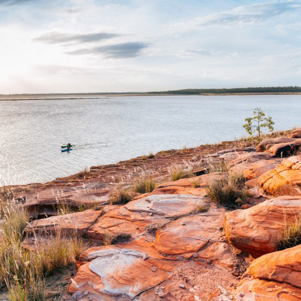
The National Trust listed Railway StationEmerald Botanic GardensVincent van Gogh Sunflower paintingFairbairn Dam, Lake MaraboonMine tour at RubyvaleFairbairn Dam, Lake Maraboon
It’s difficult to fully describe the high quality of our stay. For a start the unit was immaculate with everything supplied for a long stay…
– Bill and Nonie
Was very impressed by the service on arrival and the rooms were very modern and most importantly clean. Thank you for a great stay.
– George M
Nothing was a bother for the staff, they were friendly and helpful. I would recommend staying here especially for family holidays.
– Donna H
Only stayed one night for an event, but can’t say enough about this little gem. I’ve come to expect poor pillows in hotels be was very happily proved wrong here.
– Lisa S
The apartment was very well equipped with everything you could need – coffee machine, washer and dryer, full kitchen. Perfect!
– Janne K
Subscribe to our newsletter
Sign up to our newsletter for exclusive offers and promotions from The Emerald Inn
Subscribe to our newsletter
Sign up to our newsletter for exclusive offers and promotions from The Emerald Inn