Where is Emerald QLD
Where Is Emerald QLD — Location, Driving Distances, and How to Get There
Emerald is located in the Central Highlands region of Queensland, approximately 270 kilometres west of Rockhampton on the Capricorn Highway. In geographical terms, it sits at latitude 23.44 degrees south and longitude 148.16 degrees east — almost exactly on the Tropic of Capricorn, which is how the highway that connects it to the coast got its name. The town is roughly 900 kilometres northwest of Brisbane by road, 600 kilometres south-west of Mackay, and approximately 270 kilometres east of Longreach.
Understanding where Emerald sits in relation to other places is important because the distances involved in Central Queensland are significant by the standards of anyone accustomed to coastal or city living. This is not a suburb you can reach on a commuter train — it is a genuine inland regional centre that requires either a dedicated drive or a flight to reach. That remoteness is part of what makes the region distinctive, but it also means planning your travel is essential rather than optional.
Driving Distances to Emerald
The most common approach to Emerald is by road from the coast, and the Capricorn Highway from Rockhampton is the primary route. This is a well-maintained, sealed two-lane highway that crosses the Dawson Range and passes through Blackwater before reaching Emerald. The drive takes approximately three hours in normal conditions and is straightforward — the road is flat to gently undulating, well-signed, and carries moderate traffic including road trains and mining vehicles.
From Brisbane, the drive to Emerald is approximately 900 kilometres and takes a full day — roughly nine to ten hours of actual driving time, plus stops. The standard route runs via the Warrego Highway to Toowoomba, then the Leichhardt Highway through Wandoan and Theodore to Biloela, and finally the Dawson Highway through Moura to Emerald. An alternative route via the Bruce Highway to Rockhampton and then the Capricorn Highway is slightly longer but avoids some of the narrower sections of the inland route. Most people driving from Brisbane break the journey with an overnight stop, with Biloela, Moura, or Rockhampton being logical options.
From Mackay, the drive is approximately 370 kilometres via the inland route through Clermont, taking around four to four-and-a-half hours. This route crosses pastoral country and passes through the small town of Clermont, which has fuel and basic services. From Gladstone, add approximately an hour to the Rockhampton route. From Bundaberg, the drive is roughly 600 kilometres via Rockhampton.
From the west, Emerald is approximately 380 kilometres from Longreach (four to four-and-a-half hours), 290 kilometres from Barcaldine (three hours), and 460 kilometres from Winton (five hours). These western approaches cross the Mitchell grass plains and open pastoral country that characterises inland Queensland.
Getting to Emerald by Air
Emerald Airport (IATA code: EMD) handles regular passenger services, with QantasLink operating flights to and from Brisbane. Flight time is approximately 90 minutes, making air travel the practical option for anyone who values time over cost. The airport also handles charter flights, particularly for the mining sector, and connects to the broader charter network that services mine sites across the Bowen Basin.
The airport is located approximately 5 kilometres south of the town centre. There is no public transport from the airport to town, so you will need a hire car, a taxi, or an arrangement with your accommodation or employer. Hire cars are available at the airport from major agencies.
Emerald’s Position on Touring Routes
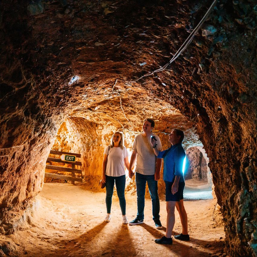
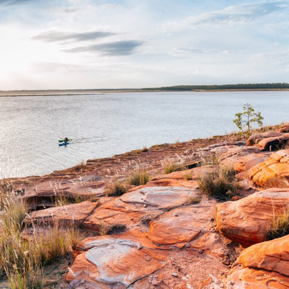
Emerald sits on several important touring routes through Queensland’s inland. For grey nomads and long-distance tourers, the town is a natural stop on the Capricorn Highway between the coast and Longreach — home of the Qantas Founders Museum and the Stockman’s Hall of Fame. It is also a staging point for visits to Carnarvon Gorge (approximately three hours south-east), the Sapphire Gemfields (45 minutes west), and Blackdown Tableland National Park (approximately 90 minutes south).
The broader touring circuit through Central and Western Queensland — sometimes called the outback loop — typically includes Rockhampton, Emerald, Longreach, Winton, and back via either the Matilda Highway or the Warrego Highway. Emerald provides the transition point between the coastal influenced country of eastern Queensland and the true outback landscapes of the west, and its position as a well-serviced regional centre makes it the ideal place to restock, refuel, rest, and prepare for the longer legs of any outback journey.
Road Conditions and Travel Tips
The sealed highways connecting Emerald to the coast and to major western towns are well-maintained and suitable for all vehicle types, including caravans and motorhomes. However, secondary roads — particularly those leading to outlying attractions like Blackdown Tableland and some areas of the Gemfields — may be unsealed and can be affected by wet weather. During and after significant rain events, it is wise to check road conditions before departing, particularly if you are travelling south toward Carnarvon Gorge or onto any unsealed sections.
Road condition updates are available from the Queensland Department of Transport and Main Roads website and the RACQ road conditions service. Fuel is available in Emerald from multiple stations, including 24-hour options, and you should top up before heading to destinations where fuel availability is uncertain — the Gemfields, Blackdown Tableland, and the road south toward Carnarvon Gorge do not have reliable fuel stops.
Speed limits on Queensland highways are generally 100 or 110 kilometres per hour, but vary and should be observed closely. Wildlife — particularly kangaroos and cattle — is a genuine hazard, especially at dawn and dusk. Avoid driving at night on unfamiliar rural roads if possible, and if you must, reduce speed significantly and watch for animals on the road shoulders.
Frequently Asked Questions — Getting to Emerald
Can I drive from Brisbane to Emerald in one day?
It is physically possible but not recommended. Nine to ten hours of driving plus stops makes for a very long day, and arriving tired in an unfamiliar town after dark is not ideal. Breaking the trip with an overnight stop — at Biloela, Moura, or Rockhampton — makes the journey safer and more enjoyable.
Is there public transport to Emerald?
Bus services operate between Rockhampton and Emerald and between Emerald and western Queensland towns. The Spirit of the Outback rail service passes through Emerald on its route between Rockhampton and Longreach. However, most visitors arrive by car or air.
What is mobile phone coverage like on the drive to Emerald?
Telstra coverage is generally reliable along the Capricorn Highway and the main approach routes. Optus and Vodafone coverage is patchier outside major towns. If you are relying on a phone for navigation, download offline maps before departing, as gaps in coverage can leave you without GPS in some sections.